

Greetings from a first time poster!
First off, thank you to anyone who might be able to help. I’d provide examples, but I think the question itself is pretty straightforward. Thank you to anyone who can provide direction on this.
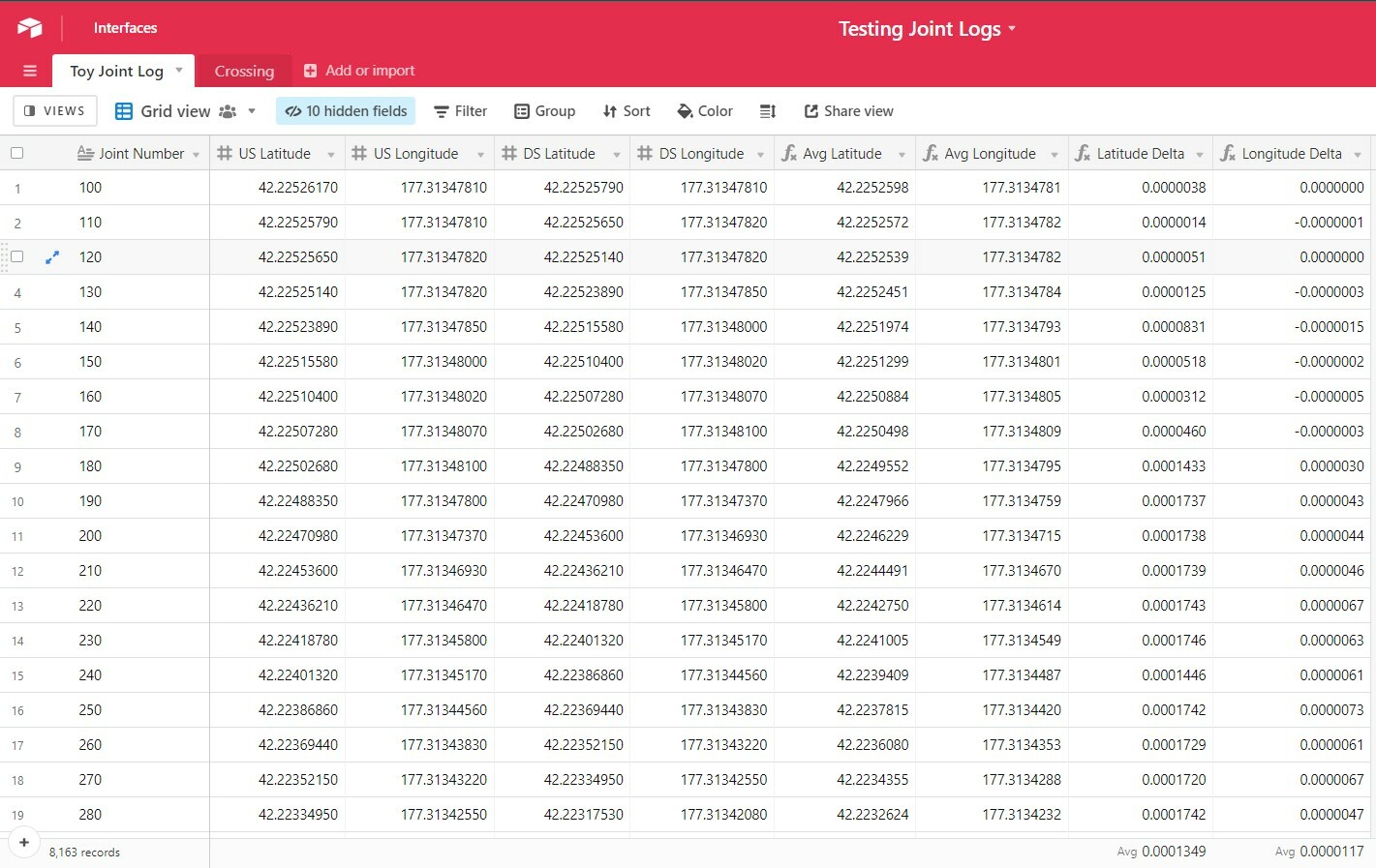
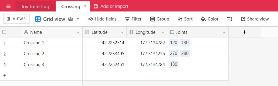
In one table I have a few thousand records that represent segments of a pipeline. I have the latitude and longitude for both ends of the pipe (upstream “US” and downstream “DS”), as well as the average of both (6 columns). In another table I have a form setup that would represent crossings of said pipe, and it includes a latitude and longitude column as well. I want to setup a rollup or look-up column that provides the record (or records) from the first table that fall within a tolerance zone from the latitude/longitude entered from the form (0.5 x average difference between US & DS Lat/Long, respectively).
This is what the source table (1st table) looks like
This is what the Form table would look like, including what I’d like to see the outcome look like (without the manual entry).
Does this make sense to anyone out there?
Gratefully,
Dillon
