Hi,
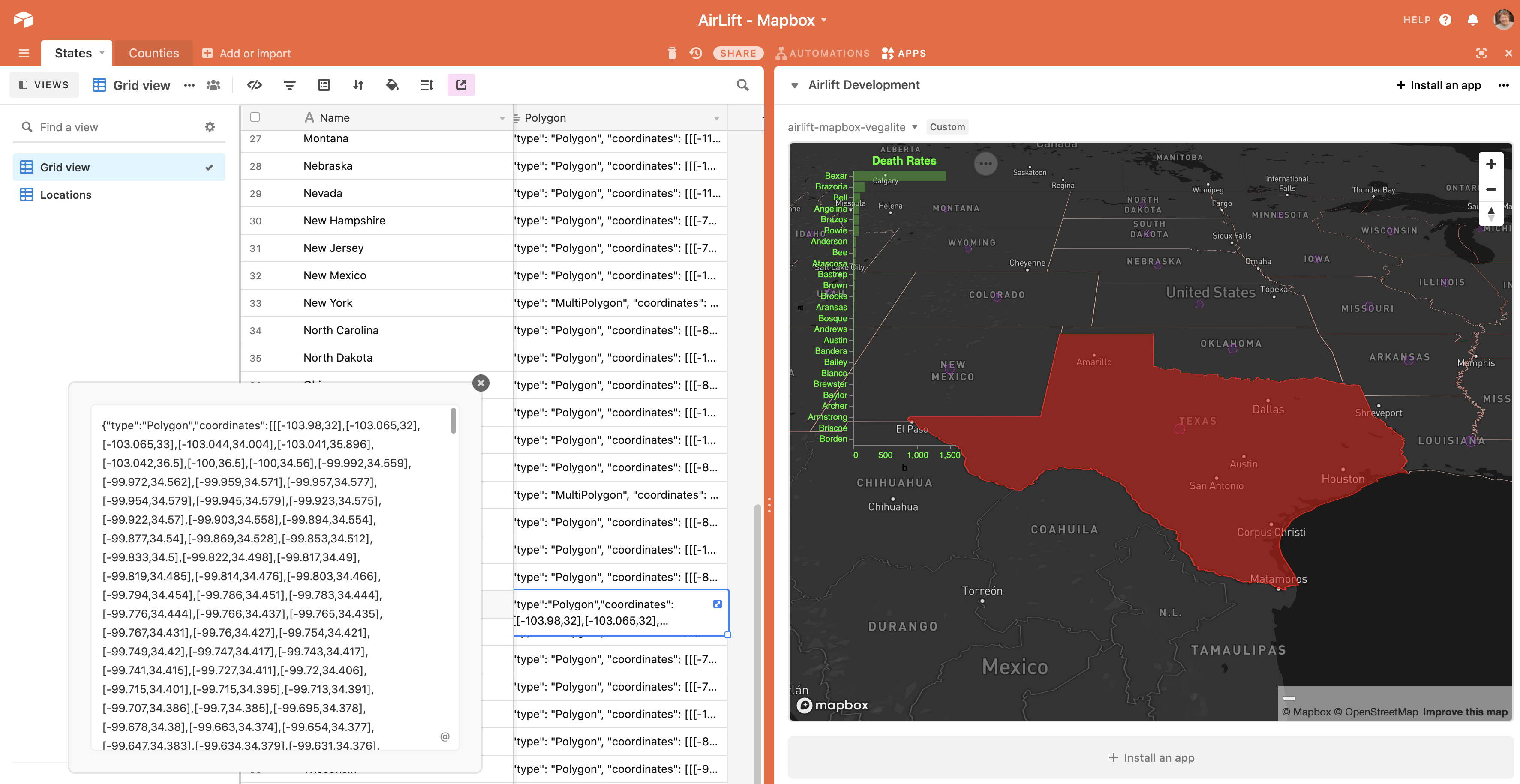
We have a list of jobs with locations.
We can view them on a map as individual markers.
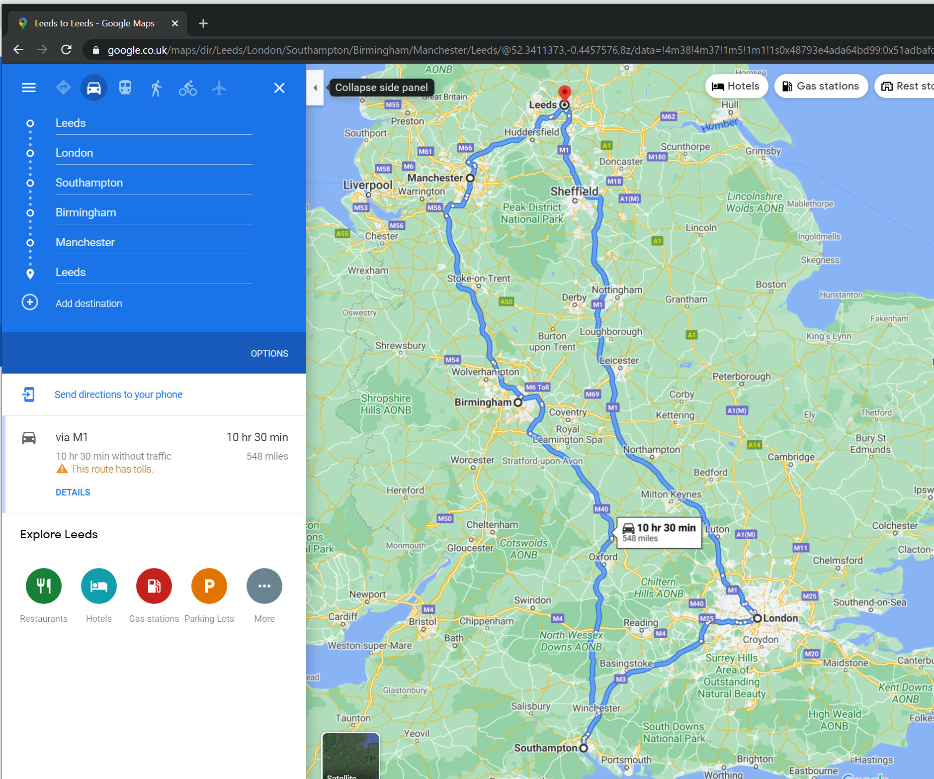
But we’d like to view all the jobs that are in a day as a route.
e.g.
Alternatively: we have a bubble app as well. We’d like an iframe from there to here
But can’t use url preview or embed
url preview: https://support.airtable.com/hc/en-us/articles/360044410033-URL-preview-app
Cannot use our bubble url
embed app: https://support.airtable.com/hc/en-us/articles/360015137434-Embed-app
Cannot pass dynamic parameters. just a fixed url.
Open to suggestions/workarounds/quick hacks.
Sounds like possibly a simple react extension but not sure.
Thanks
ZubairLK