It kind of exists yes :grinning_face_with_big_eyes: There is Maps app in Airtable, you can check it out.
And by “kind-of”, he means it doesn’t. :winking_face:
The maps app in Airtable will show locations, but that’s pretty much the extent of it. If there were a way to communicate with the maps at a virtual level, all sorts of cool things would be possible. To the best of my knowledge, such a communications-level API doesn’t exist with the map app or any Airtable “app” for that matter unless you build it entirely as a custom React app.
Taking Airtable data into the world of location science requires external integration leveraging platforms such as MapBox or Google Maps. I’ve found MapBox GL JS is far more advanced than Google maps.
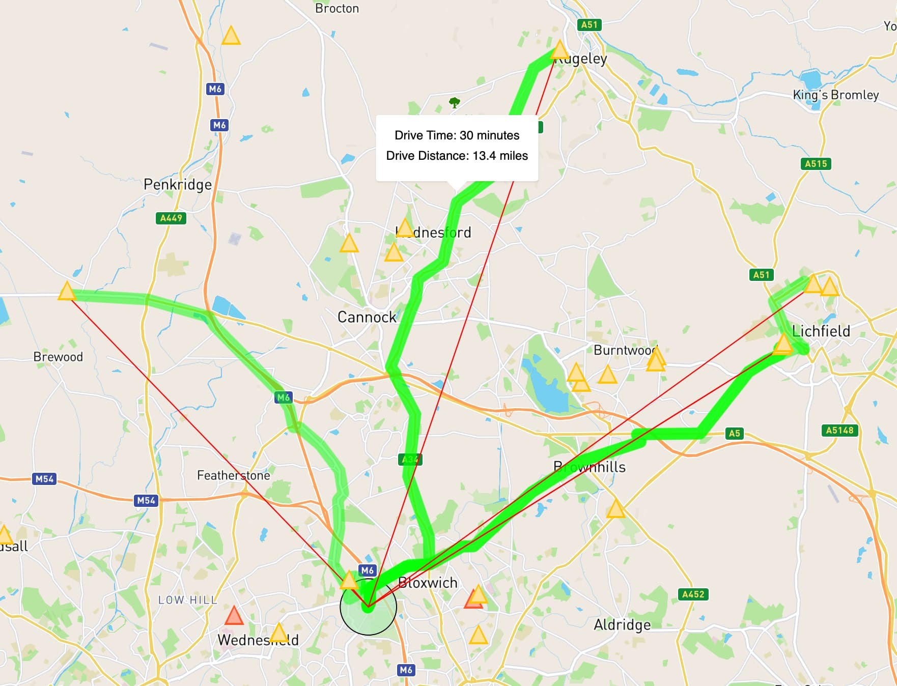
This map renders near-instant routing computations based on optimized distance and traffic. It is driven by Airtable events that easily scale and provide detailed geometries required for routing and logistical decisions. You can’t do this with the Airtable maps app.

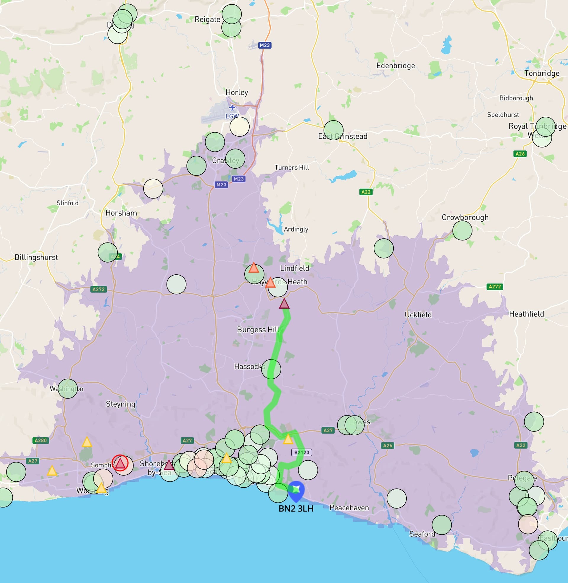
You can’t do this either - an iso-map indicating drive time in every direction. This is rendering ~27,000 points in about 100ms.