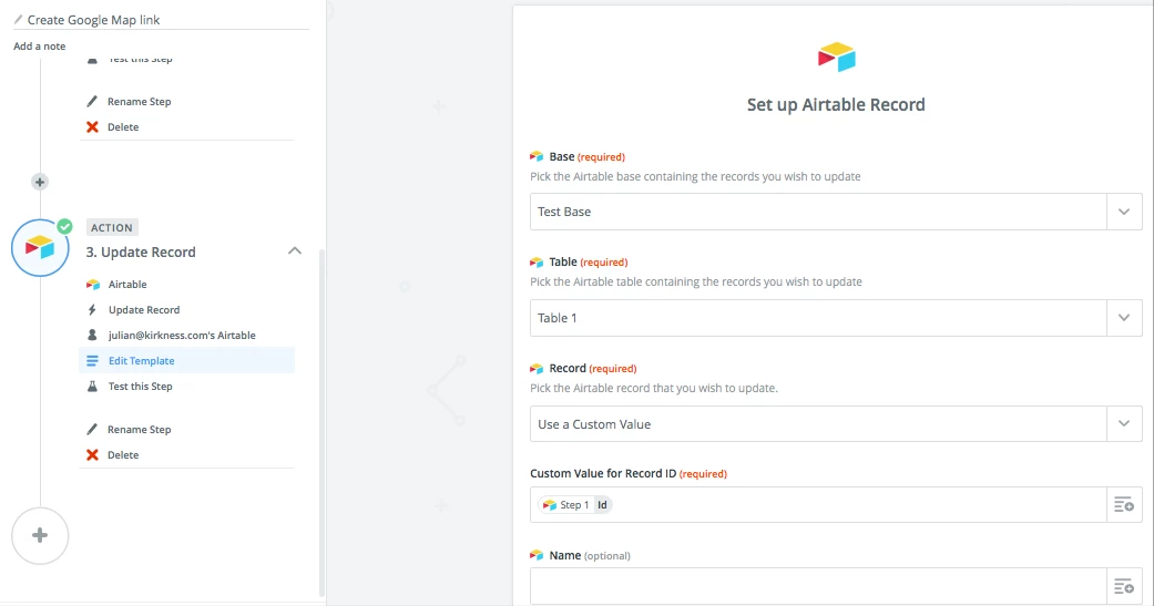
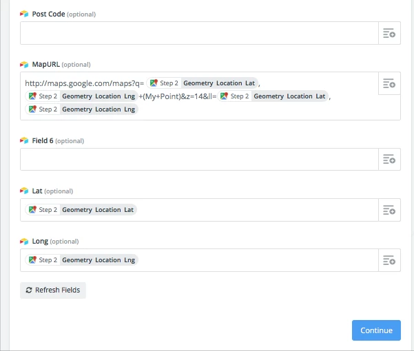
We are trying to map our building addresses via google maps, I am not a developer and have no idea how to program API’s/ make them talk to each other. Would greatly appreciate any help!!

Looking for Developer to map Google and Airtable API for Airmaps

 <img
<img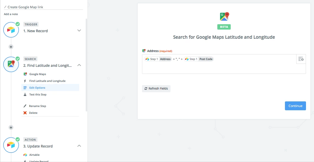
Enter your E-mail address. We'll send you an e-mail with instructions to reset your password.